Capture

Η Marathon Data Systems και η INFOΔΗΜ διοργανώνουν από κοινού μία παρουσίαση με θέμα:

 "INFOREV: Καταγραφή, Διαχείριση και Αξιοποίηση Ακίνητης Περιουσίας με χρήση της πλατφόρμας ArcGIS"

To Inforev είναι μια διαδικτυακή υπηρεσία καταγραφής, διαχείρισης και αξιοποίησης ακίνητης περιουσίας με χρήση της τεχνολογίας ArcGIS. Η υπηρεσία βασίζεται στην παροχή δεδομένων που διαμορφώνουν την ταυτότητα της περιοχής στην οποία βρίσκονται τα ακίνητα, παρέχοντας πληροφορίες σχετικές με αξίες ζώνης, κατάσταση κτιρίων, χρήσεις γης, κοινωνικοοικονομικά στοιχεία κ.ά.
Παρέχει επίσης την δυνατότητα υπολογισμού αγοραίων και μισθωτικών αξιών των ακινήτων με τη χρήση των πλέον αναγνωρισμένων εκτιμητικών μεθόδων. Η ανάλυση και η σύνθεση όλων των παραπάνω στοιχείων δίνουν την δυνατότητα εξαγωγής μαζικών αναφορών αξιοποίησης της ακίνητης περιουσίας.


Δήλωση Συμμετοχής


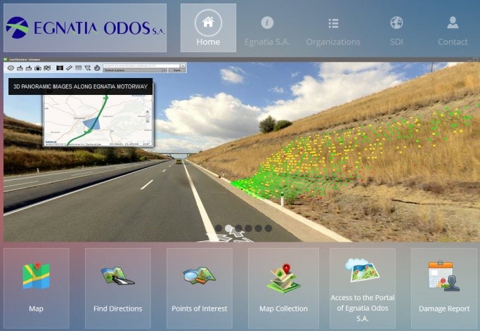
egnatiaThe Egnatia Motorway GIS Management System  consists of two parts:

  1. a user friendly interface for the public in order to search usefull travel information, along the Egnatia Motorway (A2).
  2. an internal usage Enterprise GIS Portal for “Egnatia Odos S.A.” perssonel, for asset maintenance, monitoring and management.

Both sub-systems are in test operation and under approval from the company.

Visit the webpage

“INFODIM is the first company in Greece that implemented an Enterprise Portal for ArcGIS installation.”

technopolis

On Wednesday 10th of June, CERN and the business incubator “Technopolis Thessaloniki Incubator S.A.” announced the launch of a new Business Incubation Centre (BIC) for CERN technologies in Greece. The agreement follows the establishment of BIC’s in three other CERN Member States: the UK, Netherlands and, last month, Norway. Infodim attended the conference and its members had interesting discussions and contacts with members of the CERN Knowledge Transfer group.

Read more: Cern Business Incubator Center (BIC) - Technopolis

geoserver

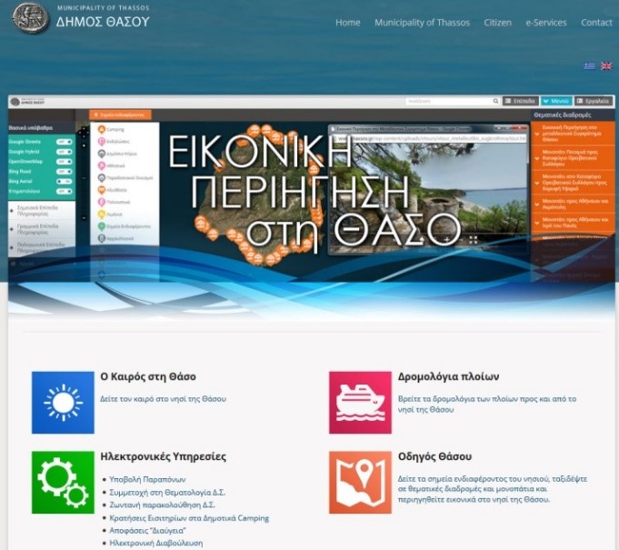
Infodim has finished the design and implementetion of the integration between Wordpress CMS and GeoServer Open Source platform giving the ability to customers to easily create and administrate (using the WP Control Panel) Web GIS functionalities. This Integration gives the user the ability to easily create geographic maps through a familiar CMS interface.

FaLang translation system by Faboba